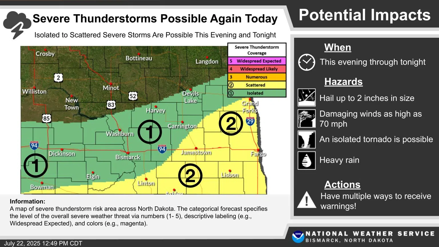
Scattered severe thunderstorms are possible late Tuesday afternoon through tonight across the James River Valley and south central North Dakota.
The National Weather Service warns of large hail up to 2 inches in diameter, damaging winds up to 70 mph, and locally heavy rainfall. A tornado or two cannot be ruled out, especially near the South Dakota border.
Wednesday will be cooler with highs in the 70s and additional storm chances. Temperatures return to the 80s Thursday through the weekend with near-daily thunderstorm chances continuing.
Another round of strong to severe storms is possible Friday through Sunday as the weather pattern remains active.
Residents should monitor weather alerts and have severe weather plans ready. Stay indoors during storms and avoid flooded roads.
Monitor the National Weather Service’s Facebook page to receive storm updates. To receive emergency alerts directly from Stutsman County Emergency Management, head to the Stutsman County website.
Comments