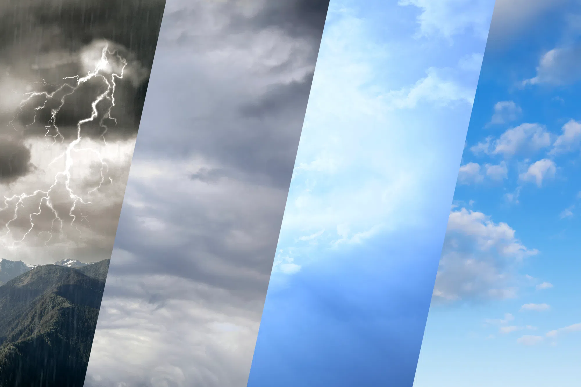
People should prepare for possible severe weather at times across North Dakota throughout the Independence Day weekend.
The National Weather Service in Bismarck says isolated severe storms are possible this afternoon and evening across central and western North Dakota. The main threats are quarter-size hail and wind gusts up to 60 miles per hour. The NWS has issued a level 1 severe storm threat advisory throughout the state.
The Fourth itself looks less active, but not completely dry. Jamestown, Carrington and LaMoure all have a slight chance of showers and thunderstorms Saturday, with highs in the low 80s. Valley City has a chance of morning showers, then a slight storm chances in the afternoon.
Medora looks mostly sunny Saturday with a high near 87 for the Theodore Roosevelt Presidential Library opening and America 250 events.
Sunday looks warmer and drier for much of the state. Jamestown and Valley City are expected to reach the upper 80s, while parts of western North Dakota could reach the 90s. There are some chances for precipitation throughout the state depending on how the storms form and move on Saturday.
Anyone heading to fireworks, lakes, campgrounds or outdoor events should keep an eye on the forecast and have more than one way to receive weather alerts.


Comments